“It’s not down on any map; true paces never are” —Herman Melville
STONE RIDGE was a village founded by Palatine Germans in 1722, across the Mohawk River from the older settlement of German Flats. The village was later renamed for Nicholas Herkimer, a local homesteader and Revolutionary War hero who was mortally wounded at the battle of Oriskany. A driving-tour of the town revealed an eclectic mix of historic real estate with new construction. Abandoned mills, an historic courthouse, and the predictable strip of roadside commerce at the edge of town. Pausing for a fast-food chicken sandwich, washed down with bottled water, I noticed too late a Sushi-bar across the street. My fleeting remorse was quelled by pondering the dubious joys of consuming raw fish on a Monday, before a fresh supply could be delivered.
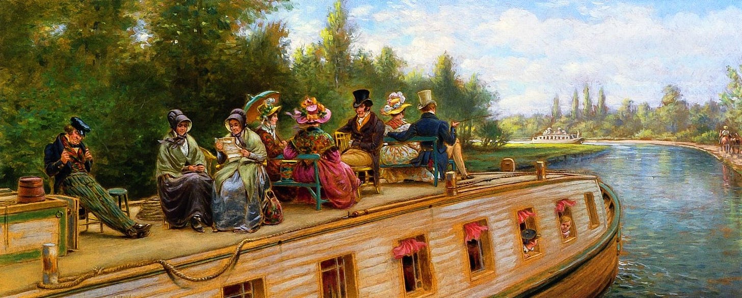
I thought how unlikely it would have been, to find a Japanese restaurant in a Mohawk Valley mill-town, half a century ago, until I reminded myself that the Erie Canal had been a major thoroughfare upon which fresh oysters and the latest Parisian fashions found their way into the North American interior. Boom economies at Herkimer and other towns established along the route were built on an expansion of global trade that soon would elevate the young republic to the status of a world power.
Marking a juncture between the Erie Canal and one of the stretches along the Mohawk River is pair of guard-gates, by the south end of the bridge linking Herkimer to German Flatts. Near the northern end of the bridge, water tumbles over a dam into the old river-channel. Less than a quarter-mile downstream, the Mohawk receives the outflow of West Canada Creek. Driving past the entrance to Interstate 90 on my way back to town, then under its overpass, the road continues north under a railroad bridge. I was struck by this time-line of transportation-routes, clustered into a palimpsest of human mobility—all of which were created to serve and support commerce. Canoes packed with furs were replaced by several generations of barges plying a man-made waterway that was forever being widened, deepened, and improved. Railways first augmented, then outpaced canal traffic. Vehicles propelled by internal combustion and modern motorways outperformed them both. On my way east toward Little Falls, I noticed the ruins of a railway viaduct spanning West Canada Creek. Look at an 1859 map later that night, I traced the abandoned rail-line through the town. In 1859, Route 5 was simply known as “The Turnpike.” The map also shows the location of a toll house, at the edge of town. Like today’s highway, it was shadowed by the historic railway. The reason for this is that the best way to deliver workmen and materials to a highway construction project is via an existing route. Footpaths follow waterways so that traveler may have access to water. Having learned to build boats and navigate waterways, voyagers accelerated movement—especially in downstream travel.
The original Erie Canal became fully operational in 1825. It was forty feet wide, four feet deep, and could accommodate barges laden with 30 tons of cargo. Within twenty years, the canal was widened and deepened. By 1862 it was seven feet deep. Barge capacity had jumped to 240 tons. Operations continued until 1959, when the Saint Lawrence Seaway opened a direct route into the Great Lakes, for ocean-going shipping. This has had a number of regrettable consequences, such as the introduction of invasive species such as Zebra Mussels, Sea Lamprey, and the Round Goby fish, released in bilge-water discharges. Feeding on mussels and other shellfish that accumulate residue from chemical waste, the Round Goby possesses a high tolerance for these toxins, which are then consumed by the larger fish that feed on it.
Everywhere in the Mohawk Valley, one finds traces of the Revolutionary War. Apart from the site of Walter Butler’s inglorious demise along West Canada Creek, battles were fought at Stone Arabia, Klock’s Field, and Fort Stanwix. The town of Herkimer was named for the colonel of the Tryon County Militia, who perished of wounds received at Oriskany, along the bloody Mohawk. I was reminded of a quote by John Brinckerhoff Jackson, who observed,
“. . . some deep similarity between the way war organize space and movement, and the way the contemporary society organizes them; that is, if the military landscape and military society are not both in essence intensified versions of the peacetime landscape, intensified and vitalized by one overriding purpose which, of necessity, brings about a closer relationship between man and environment and between men.”
— James Lancel McElhinney © 2023
SOURCES:
The Story of the New York State Canals. Roy G. Finch. State of New York. Albany. 1925
Discovering the Vernacular Landscape. John Brinckerhoff Jackson. Yale University Press. New Haven. 1984. Page 135.
If you enjoyed this post, SUBSCRIBE for FREE, to receive notifications and updates whenever a new article is published.
Sketchbook Traveler: New England will be released in August by Schiffer Publishing: LINK
Preorder HERE
Visit my website: https//www.mcelhinneyart.com


